Vehicle registration HM Municipality Alexandreia Municipal unit Platy | Time zone EET (UTC+2) Local time Saturday 12:04 AM | |
 | ||
Weather 12°C, Wind SE at 3 km/h, 69% Humidity | ||
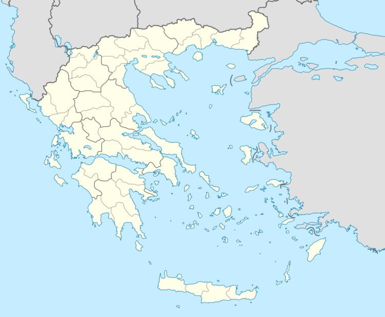
Trikala (Greek: Τρίκαλα) is a town in the eastern part of Imathia, Greece. The town (2011 census population 1,415) is in the municipal unit of Platy. It is situated between the Aliakmon and Loudias rivers, southeast of Alexandreia.
Contents
Map of Trikala 590 32, Greece
History
The origins of Trikala can be traced back to the late 18th century. The church of Agios Dimitrios (St.Demetrius) was built in 1750. The original name of the town, before the first refugees from Northern Thrace in Bulgaria arrived in 1925, was Karyes (meaning walnut trees), the current name, Trikala, means "thrice good".
Trikala was in Ottoman Empire until the Balkan Wars of 1913, afterwards, it became part of Greece. The majority of the population of Trikala to this day is made up by immigrants arriving from the Northern Thrace region of Bulgaria after a mutual population exchange between the two countries and their descendants. In 1935, Trikala saw an influx of Sarakatsani settlers. Some refugees from Pontus arrived before 1940.
