Country Bosnia and Herzegovina | Elevation 2,088 m | |
 | ||
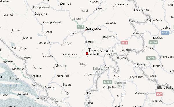
Easiest route from Trnovo via Turovi and Sustavac P.D. proceeding to Veliko Jezero. From there strictly following the markings towards Đokin Toranj (mine hazard!). Similar Bjelašnica, Igman, Trebević, Čobanija Bridge, Volujak | ||
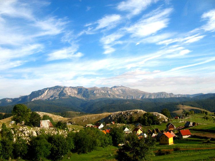
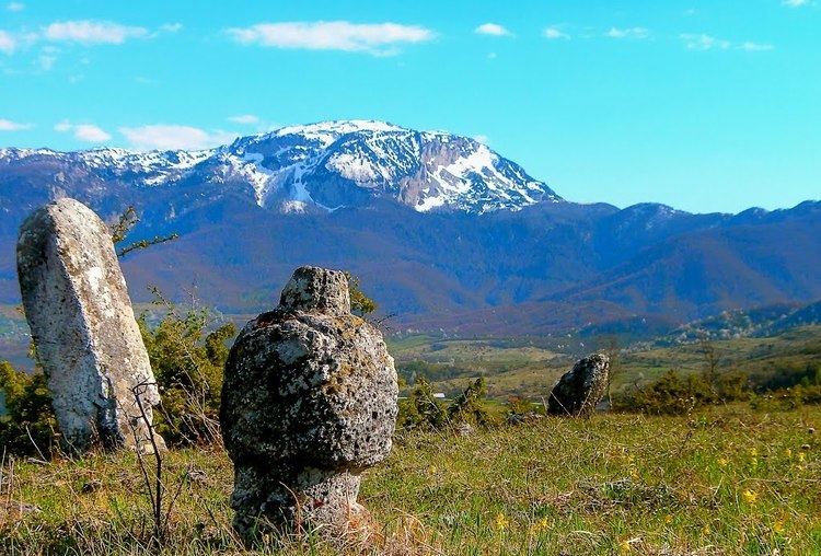
Treskavica is a mountain range in Bosnia and Herzegovina, situated in Trnovo municipality just south of city of Sarajevo. Mala Ćaba (Đokin Toranj) peak at 2088 m (6950 feet), makes Treskavica the tallest of all the mountains circling Sarajevo, and only some 300 m shorter than the tallest mountain in the country. On clear days with good weather, climbers can see far into the distance, up to Montenegro and the Adriatic Sea.
Contents
Topography
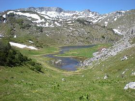
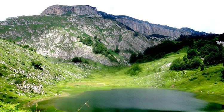
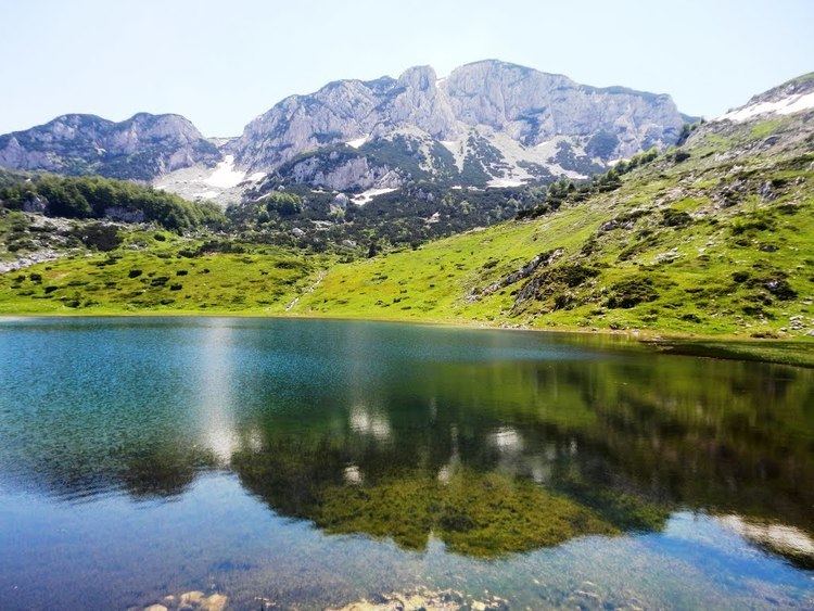
Geologically, the Treskavica range is part of the Dinaric Alps and formed largely of secondary and tertiary sedimentary rock, mostly limestone and dolomite. A number of beautiful mountain lakes are scattered throughout the group, of which Veliko Jezero is the largest. A number of streams source from these mountains: the Bistrica, tributary of the Drina river; the Željenica, tributary of the Bosna river; Ljuta and Rakitnitca, tributaries of the Neretva. Notable peaks are Mala Ćaba (2088 m.), Pašina Planina (2070 m.), Mali Treskač (1950 m.) and Lupoč (1773 m.).
Particulars
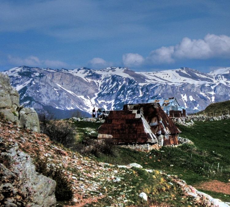
The Treskavica mountains were part of the frontline during the 1990-1995 conflict and saw some very heavy combat. Numerous battles were fought in these mountains over the possession of the town of Trnovo, the access to the Goražde enclave and generally involving the Siege of Sarajevo. Nowadays, the borderline between the two entities of Bosnia Herzegovina runs parallel to the former lines diagonally through Treskavica, dividing the south-eastern part of the mountain range towards the territory of the Republica Srpska whereas the north-western part belongs to the Federacija BiH. Although contamination with land mines and unexploded ordnance still pose a serious threat throughout the area, hiking and tourism have picked up during the last couple of years, and some mountain huts have re-opened (Sustavac,Turnovi Stan). The main peak of Mala Ćaba is generally known as Đokin Toranj because of a view tower that used to stand on its summit, but has been destroyed and removed during the war. A marked itinerary, leading from Veliko Jezero to the top was re-established in 2010.