
 | ||
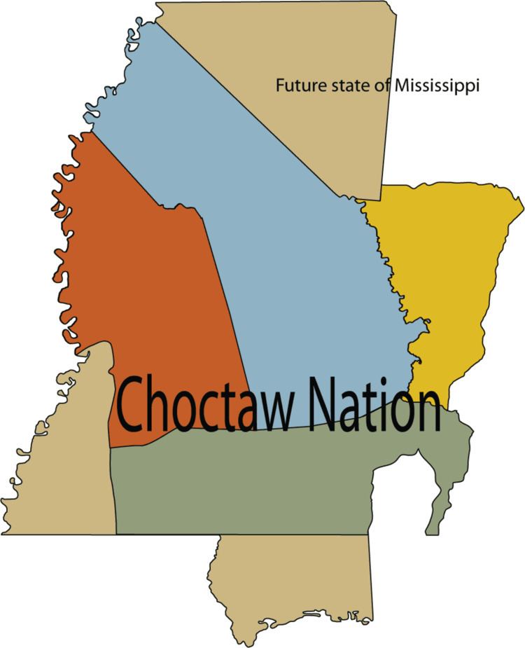
The Treaty of Mount Dexter was signed between the United States and the Choctaws. The treaty was signed November 16, 1805. The 4,142,720-acre (16,765.0 km2) area ceded was from the Natchez District to the Tombigbee Alabama River watershed, mostly in present-day Mississippi.
Contents
Terms
The preamble begins with,
1. Cession to the United States. Reservation.
2. Consideration.
3. Payment to certain Indians for past services.
4. Claim of John M'Grew.
5. Boundaries.
6. A certain former grant confirmed.
7. When to take effect.
Significance
This treaty conveyed large amounts of land in what is now southeastern Mississippi and southwestern Alabama, including much of the western portion of Clarke County, Alabama, to the United States.
In February, 1809, a survey was begun to establish the actual boundary lines between the United States and the Choctaw Nation. The United States contracted with Silas Dinsmoor and Levin Wailes for this survey.
Signatories
The main signers included James Robertson, Silas Dinsmoor, Pukshunnubbee, Mingo Hoomastubbee, and Pushmataha.