
Country Thailand Time zone THA (UTC+7) Area 1,465 km² Province Ubon Ratchathani Province | Seat Khulu Postal code 34130 Population 120,587 (2008) Geocode 3411 | |
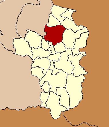 | ||
Trakan Phuet Phon (Thai: ตระการพืชผล) is a district (Amphoe) in the northern part of Ubon Ratchathani Province, northeastern Thailand.
Contents
Map of Trakan Phuet Phon District, Ubon Ratchathani, Thailand
Geography
Neighboring districts are (from the northeast clockwise) Kut Khaopun, Pho Sai, Si Mueang Mai, Tan Sum, Don Mot Daeng, Lao Suea Kok of Ubon Ratchathani province, Pathum Ratchawongsa and Phana of Amnat Charoen province.
History
The district goes back to the Mueang Phana Nikhon (พนานิคม), which was a subordinate of Mueang Ubon Ratchathani. As the district office was located in Ban Khulu, the district was renamed to Khulu in 1917. In 1939 it was renamed to the historical name Phana Nikhom, and finally being named Trakan Phuet Phon the following year.
Administration
The district is subdivided into 23 subdistricts (tambon), which are further subdivided into 235 villages (muban). Trakan Phuet Phon is a subdistrict municipality (thesaban tambon) which covers the whole tambon Khu Lu and parts of tambon Kham Charoen. There are further 22 Tambon administrative organizations (TAO).