
Time zone EET (UTC+2) | Area 1,208 km² | |
 | ||
Elderships ListAukštadvarisGrendavėLentvarisOnuškisPaluknysRūdiškėsSenieji TrakaiTrakai | ||
Trakai District Municipality is one of 60 municipalities in Lithuania.
Contents
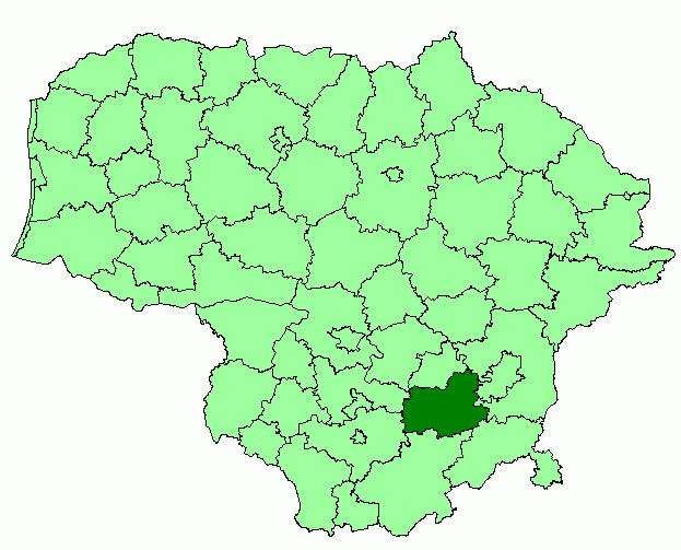
Map of Trakai District Municipality, Lithuania
History
The Trakai district became significant early in its history due to the Old Trakai Castle built by the Grand Duke Gediminas in the 13th century. Many other castles were built in the area soon after this one, including the Trakai Peninsula Castle and the Trakai Island Castle. For many years, it has been distinguished from much of the rest of Lithuania in having other ethnic groups such as Karaims, Tatars, Russians and Poles living in the vicinity.
Settlements
Trakai was an area holding great significance in the Grand Duchy of Lithuania. The Trakai region began to decline politically and economically in the 16th century. During the wars with Russia, Trakai was continually attacked and razed. It has been rebuilt and many celebrations are held there annually once again. The city is often portrayed on Lithuanian stamps because of its beauty and illustrious history. It has become an important district in Lithuania once again.
The biggest city in the district is Lentvaris, not Trakai, its capital. Other settlements include Paluknys, Trakų Vokė, Dusmenys, and Rūdiškės. It borders the Vilnius city municipality in the east.