
Airport type Public Elevation AMSL 1,427 ft / 435 m Elevation 435 m Serves West Kootenay | 16/34 4,001 Phone +1 250-367-0029 | |
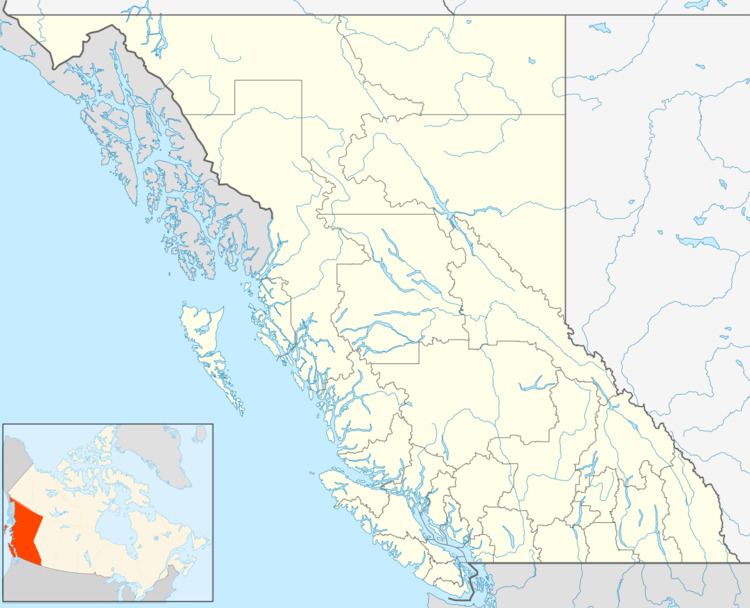 | ||
Location Trail, British Columbia Address 8995 BC-22A, Trail, BC V1R 4W6, Canada | ||
Trail airport limits
Trail Airport (IATA: YZZ, TC LID: CAD4) is located 6.1 nautical miles (11.3 km; 7.0 mi) southeast of Trail, British Columbia, Canada and is situated in a valley beside the Columbia River. The airport serves both Trail and nearby Nelson and Castlegar.
The airport consists of one 4,001 ft × 75 ft (1,220 m × 23 m) asphalt runway and provides a GPS approach from the north (runway 16) and the south (runway 34).
Since April 10, 2006, Pacific Coastal has been flying into the airport using their Beechcraft 1900s, and occasionally their bigger Saab 340s.
The terminal consists of one large room and has an outdoor luggage table rather than a carousel.
References
Trail Airport Wikipedia(Text) CC BY-SA