
Country Spain Comarca Plana Alta Demonym(s) Traiguerí, traiguerina Elevation 271 m Population 1,531 (2014) | Judicial district Vinaròs Time zone CET (UTC+1) Area 59.8 km² Local time Tuesday 10:34 AM | |
 | ||
Weather 17°C, Wind NW at 14 km/h, 45% Humidity | ||
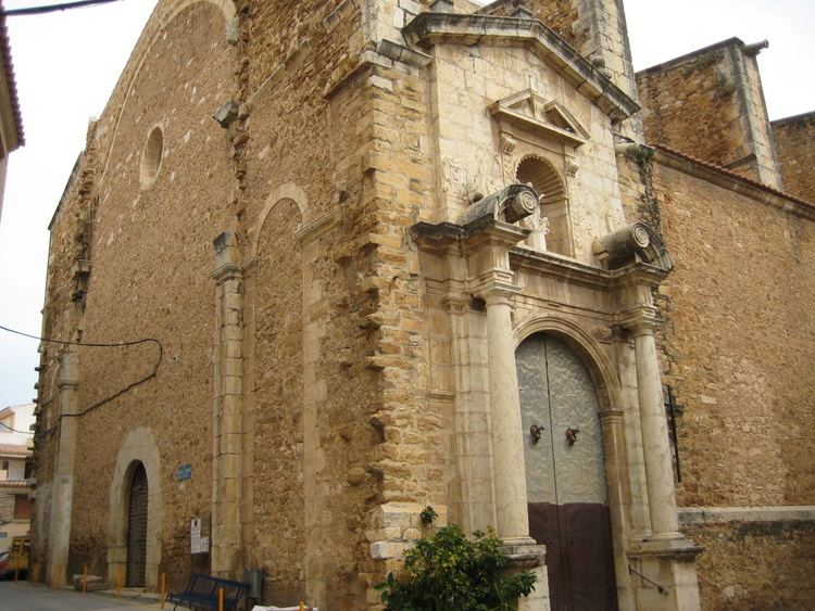
Traiguera is a town and municipality in the Baix Maestrat comarca, province of Castelló, Valencian Community, Spain. It is part of the Taula del Sénia free association of municipalities.
Contents
Map of 12330 Traiguera, Castell%C3%B3n, Spain
The town is located in a central position in the comarca, north of the Muntanyes de Cervera. The Serra de Sant Pere mountain range rises on the western side of Traiguera. This town was mentioned as part of Ilercavonia by Ptolemy.
Besides Mediterranean agriculture, mainly almonds, olives and oranges, the town has a traditional ceramic industry, much affected now by the current crisis. The name of the place 'Traiguera' comes from Aegilops geniculata, a coarse cereal that was cultivated until the Middle Ages.
One of the main tourist attractions is the Santuari de la Font de la Salut, located among mountains 2 km south of the town.