
Local time Monday 7:04 PM Area code 479 | Time zone CST (UTC-6) Population 12,273 (2010) | |
 | ||
Weather 19°C, Wind W at 13 km/h, 57% Humidity Area 538.2 km² (537.6 km² Land / 64 ha Water) Points of interest Wild Wilderness Drive Thr, Old Spanish Treasure, Gravette Historical Museum | ||
Township 11 is one of thirteen current townships in Benton County, Arkansas, USA. As of the 2010 census, its total population was 12,273.
Contents
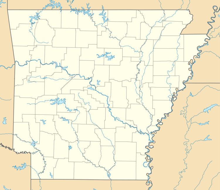
Map of Township 11, AR, USA
Geography
According to the United States Census Bureau, Township 11 covers an area of 207.804 square miles (538.21 km2); 207.558 square miles (537.57 km2) of land and 0.246 square miles (0.64 km2) of water.
Cities, towns, and villages
References
Township 11, Benton County, Arkansas Wikipedia(Text) CC BY-SA