
Country United States GNIS feature ID 77622 Area 6.048 km² Local time Wednesday 11:03 PM | Time zone Central (CST) (UTC-6) Elevation 318 m Population 130 (2010) Area code 479 | |
 | ||
Weather 6°C, Wind E at 8 km/h, 52% Humidity | ||
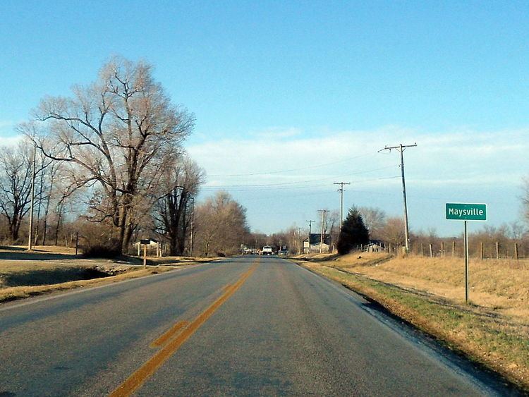
Maysville is an unincorporated community in Benton County, Arkansas, United States. It is the westernmost settlement in the state of Arkansas. As of the 2010 census, its population is 130. It is the location of (or is the nearest community to) Coats School, which is located on Spavinaw Creek Rd. and Sellers Farm, which is located on Old Hwy. on State Line. Both are listed on the National Register of Historic Places.
Map of Maysville, AR 72747, USA
References
Maysville, Arkansas Wikipedia(Text) CC BY-SA