
Population 163 (2011 census) | Postcode(s) 4810 Postal code 4810 | |
 | ||
Location 8.5 km (5 mi) N of Townsville CBD | ||
Town Common is a suburb in the City of Townsville, Queensland, Australia. In the 2011 census, Town Common had a population of 163 people. It is locally known as "The Common".
Contents
Map of Town Common QLD 4810, Australia
Geography
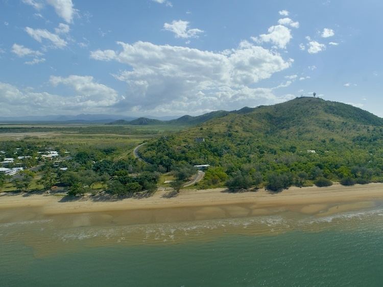
Town Common is bounded by the Bohle River to the west, by the Coral Sea to the north-west and east, and Townsville Airport (Garbutt) to the south. Most of the land is flat and at sea level with the exception of Mount Marlow towards the north-east which rises to over 200 metres. The land is mostly undeveloped with much of land contained within the Townsville Town Common Conservation Park. The western part of the suburb is floodplain created by a mangrove-lined network of tributaries of the Bohle River. The developed land is in the south-east of the locality consisting of the Rowes Bay Golf Club and the Garden Settlement Aged Care Village, which is reflected in the median age for the suburb in the 2011 census being 81 years of age.
History
The wetlands and lowlands of Town Common the result of sand dune formation and water catchment drainage processes including erosion and sedimentation over thousands of years. Town Common was gazetted in 1869 as common land for the people of Townsville (established in 1864). In 1900 part of the wetlands was established as a sanitary reserve. In 1914 a pasturage reserve was established.