Highest elevation 305 m (1,001 ft) Elevation 305 m | Length 9 km (5.6 mi) Population Uninhabited | |
 | ||
Tower Island is an Antarctic island 9 kilometres (5 nmi) long and 305 m (1,001 ft) high, lying 37 kilometres (20 nmi) north-east of Trinity Island and marking the north-east extent of Palmer Archipelago. The Pearl Rocks lie off its west coast.
Contents
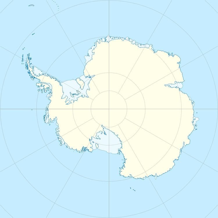
Map of Tower Island, Antarctica
The island was named on 30 January 1820 by Edward Bransfield, Master, Royal Navy, who described it as a round island.
Map
References
Tower Island Wikipedia(Text) CC BY-SA
