
Postcode(s) 3527 Towaninny Quambatook | Postal code 3527 | |
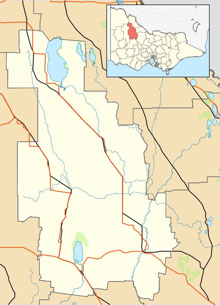 | ||
Location 311 km (193 mi) NW of Melbourne35 km (22 mi) from Wycheproof60 km (37 mi) from Swan Hill LGA(s) Shire of BulokeShire of Gannawarra | ||
Towaninny is a locality in the Victoria, Australia, located approximately 35km from Wycheproof, Victoria.
Map of Towaninny VIC 3527, Australia
Towaninnie (sic) Post Office opened on 1 October 1864 and closed in 1953. The pastoral run here was known as Towaninnie, but when the area was surveyed and gazetted as a parish in 1871 the spelling was Towaninny.
References
Towaninny, Victoria Wikipedia(Text) CC BY-SA