
Country United States County Butler Area code 316 Area 2.75 km² Zip code 67144 | Time zone Central (CST) (UTC-6) FIPS code 20-71125 Elevation 394 m Population 1,420 (2013) | |
 | ||
Weather 18°C, Wind NW at 18 km/h, 61% Humidity | ||
Towanda is a city in Butler County, Kansas, United States. As of the 2010 census, the city population was 1,450.
Contents
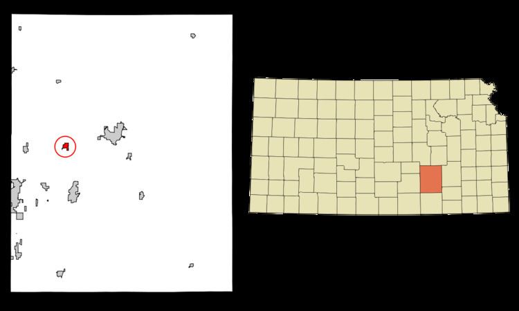
- Map of Towanda KS 67144 USA
- History
- 21st century
- Geography
- 2010 census
- 2000 census
- Education
- Primary and secondary education
- Notable people
- References
Map of Towanda, KS 67144, USA
History
Towanda was founded in 1870. Towanda is an Osage-language name meaning "many waters".
The town was severely damaged by a cyclone in 1892.
21st century
In 2010, the Keystone-Cushing Pipeline (Phase II) was constructed a few blocks west of Towanda (immediately west of SW River Valley Rd), running north to south through Butler County, with much controversy over tax exemption and environmental concerns (if a leak ever occurs).
Geography
Towanda is located at 37°47′45″N 96°59′58″W (37.795921, -96.999380), along the Whitewater River. According to the United States Census Bureau, the city has a total area of 1.06 square miles (2.75 km2), all of it land.
2010 census
As of the census of 2010, there were 1,450 people, 524 households, and 397 families residing in the city. The population density was 1,367.9 inhabitants per square mile (528.1/km2). There were 577 housing units at an average density of 544.3 per square mile (210.2/km2). The racial makeup of the city was 95.3% White, 0.3% African American, 1.1% Native American, 0.5% Asian, 0.4% Pacific Islander, 0.5% from other races, and 1.9% from two or more races. Hispanic or Latino of any race were 2.7% of the population.
There were 524 households of which 39.9% had children under the age of 18 living with them, 59.9% were married couples living together, 9.4% had a female householder with no husband present, 6.5% had a male householder with no wife present, and 24.2% were non-families. 20.4% of all households were made up of individuals and 7.2% had someone living alone who was 65 years of age or older. The average household size was 2.77 and the average family size was 3.15.
The median age in the city was 34.5 years. 30% of residents were under the age of 18; 8.9% were between the ages of 18 and 24; 24.4% were from 25 to 44; 25.1% were from 45 to 64; and 11.7% were 65 years of age or older. The gender makeup of the city was 50.0% male and 50.0% female.
2000 census
As of the census of 2000, there were 1,338 people, 492 households, and 383 families residing in the city. The population density was 1,804.8 people per square mile (698.1/km²). There were 537 housing units at an average density of 724.3 per square mile (280.2/km²). The racial makeup of the city was 96.79% White, 0.37% African American, 0.37% Native American, 0.22% Asian, 0.22% from other races, and 2.02% from two or more races. Hispanic or Latino of any race were 0.75% of the population.
There were 492 households out of which 39.2% had children under the age of 18 living with them, 66.1% were married couples living together, 8.3% had a female householder with no husband present, and 22.0% were non-families. 20.7% of all households were made up of individuals and 8.1% had someone living alone who was 65 years of age or older. The average household size was 2.72 and the average family size was 3.14.
In the city, the population was spread out with 29.3% under the age of 18, 9.2% from 18 to 24, 29.0% from 25 to 44, 20.5% from 45 to 64, and 12.0% who were 65 years of age or older. The median age was 34 years. For every 100 females there were 96.2 males. For every 100 females age 18 and over, there were 92.7 males.
The median income for a household in the city was $41,875, and the median income for a family was $47,188. Males had a median income of $32,250 versus $24,167 for females. The per capita income for the city was $17,815. About 5.1% of families and 6.5% of the population were below the poverty line, including 9.0% of those under age 18 and 5.0% of those ages 65 or over.
Education
Towanda is home to the district office of Circle Unified School District, USD #375, which covers approximately 175 square miles.
Primary and secondary education
Circle High School, located in Towanda, has one of the top graphic arts departments in the state. They are the top computer art school recognized at the Scholastics Art and Writing Awards, since 2005.