
Country Ukraine Elevation 282 m (925 ft) Postal code 48630 Area 16.87 km² Local time Tuesday 12:46 AM Province Ternopil Oblast | Founded 1414 Time zone EET (UTC+2) Area code +380 3554 Population 3,460 (2001) Town status 1944 District Zalischyky Raion | |
 | ||
Weather 12°C, Wind NE at 13 km/h, 80% Humidity | ||
Tovste (Ukrainian: Товсте) is an urban-type settlement in the Zalischyky Raion (district) of Ternopil Oblast (province) in western Ukraine. Its population is 3,460 as of the 2001 Ukrainian Census. The town is located on the Ternopil—Chernivtsi automobile road in the historic region of Podolia, on the banks of the Tupa River, a tributary of the Seret.
Contents
Map of Tovste, Ternopil Oblast, Ukraine
Historians date the remains of human settlement in the area back to the 9th century, revealing evidence of the Chernyakhov culture and ancient Kievan Rus' civilizations, as well as the Roman Empire. Historic documents first mentioned the settlement in 1414 as the village of Tolste (Ukrainian: Толсте).
In the 15th century, the settlement came under control of the Polish-Lithuanian Commonwealth and was renamed to the Polish variant Tłuste (Ukrainian: Тлусте). In 1548, Tłuste was granted Magdeburg rights, which it kept until 1944 when its status was downgraded to that of an urban-type settlement. The settlement was renamed two years later from its Polish name to its current Ukrainian equivalent Tovste. On December 4, 1996, Tovste was admitted into the League of Historic Cities of Ukraine.
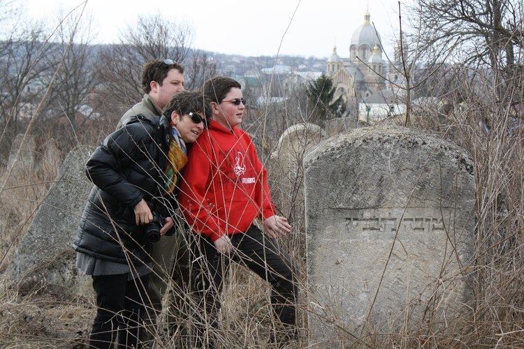
In the town there are numerous architectural monuments: the Roman Catholic Cathedral of Saint Anne, built in late 19th-early 20th century, whose reconstruction is being funded by former Polish residents of Tovste; the Greek Catholic Church of Saint Michael the Archangel, built from 1913-1939; as well as a modern Ukrainian Orthodox Church, built from 1991-1995. The town also housed a Jewish synagogue, which was destroyed during World War II, the remains of which are no longer to be found.