
Airport type Public / Military Website www.tours.aeroport.fr 2,404 7,887 Elevation 109 m | Elevation AMSL 357 ft / 109 m 02/20 2,404 Code TUF Phone +33 2 47 49 37 00 | |
 | ||
Operator Ministère de la Défense (FAF) Address 40 Rue de l'Aéroport, 37100 Tours, France | ||
Traffic at tours val de loire airport ryanair boeing 737 800 plane spotting
Tours Val de Loire Airport (French: Aéroport Tours Val de Loire) (IATA: TUF, ICAO: LFOT) is an airport in the French department of Indre-et-Loire, 6 km (3.2 NM) north-northeast of the city of Tours in the Loire Valley (Val de Loire). The airport is located partly on the territory of the communes of Tours and Parçay-Meslay.
Contents
- Traffic at tours val de loire airport ryanair boeing 737 800 plane spotting
- History
- Facilities
- References
The airport is open to both national and international carriers, private planes and is certified for both instrument flight and visual flight.
History
The airport dates back to World War I, being established as a French Air Force (Armee de l'Air) training center. The center trained many French aviators and some Americans who had volunteered prior to the American entry in the war into the French flying service. In the summer of 1917, the school was provided to the American Expeditionary Forces, which designated the school as the Second Aviation Instructional Center, Tours Aerodrome. Initially it was used as an advanced training school for pursuit pilot combat training. Later it developed into a center of training for all aerial observers of the Air Service, United States Army assigned to the AEF. It also was used as a Radio School, a Photographic school and an Aerial Gunnery school. After the 1918 Armistice with Germany, it was returned to the French Air Force which used it as a military base.
After World War II the airport was used by NATO and the US Air Force before becoming a flying school in the 1950s. From the early 1960s, Tours Airport was opened to the public. During the end of the 1970s the airport enjoyed a golden period due to the local airline Touraine Air Transport (TAT), but that airline suffered a slow slump, from which the airport never really recovered until the late 1990s, when it received subventions by the Conseil Général.
Facilities
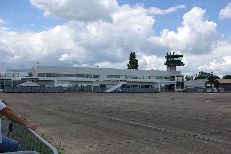
Airport The airport resides at an elevation of 357 feet (109 m) above mean sea level. It has one paved runway designated 02/20 which measures 2,404 by 45 metres (7,887 ft × 148 ft).
The airport once housed the head office of TAT European Airlines.