
Time zone UTC-3 (UTC-3) Local time Monday 6:12 PM | Settled March 27, 1835 Area 839.4 km² Population 30,325 (2008) | |
 | ||
Weather 28°C, Wind SE at 23 km/h, 77% Humidity | ||
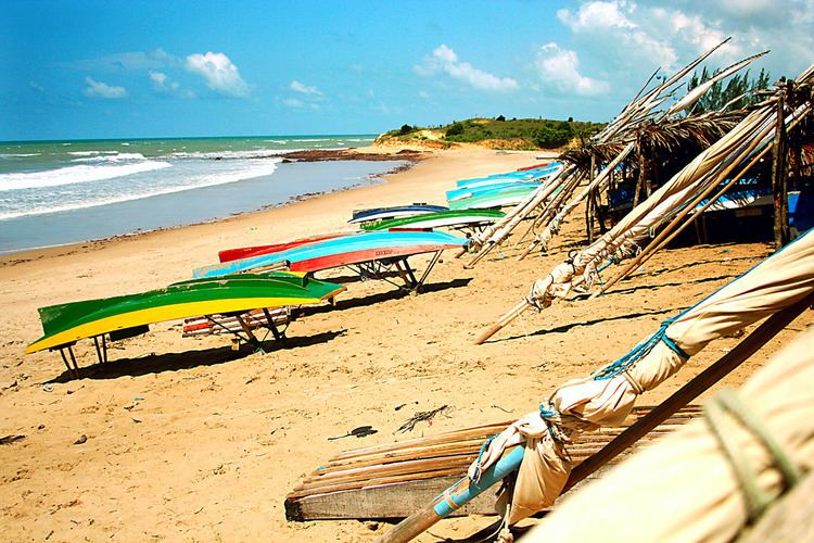
Touros (lit. "bulls") is a municipality in Rio Grande do Norte, Brazil. It is known as "Brazil's Corner" because it is located at the northeast corner of the country, being the closest South American city to Africa (2,841 km from Kabrousse in southwestern Senegal). Touros has lots of fish, and there is a nearby seawater basin in the ocean formed by banks of coral.
Contents
Map of Touros, State of Rio Grande do Norte, Brazil
Area attractions
Brazil's largest lighthouse, the Farol do Calcanhar is in the city of Touros. The Touros Village Beach Resort is also a tourist attraction.
Transportation
The northernmost section of the BR-101 highway is located in Touros, which is the longest highway in Brazil.
References
Touros Wikipedia(Text) CC BY-SA