
Time zone CET (UTC+1) Area 21.01 km² Local time Monday 11:09 PM Area1 21.01 km2 (8.11 sq mi) | INSEE/Postal code 07324 /07300 Population 10,571 (2007) Population (2008)2 10,607 | |
 | ||
Weather 16°C, Wind N at 13 km/h, 62% Humidity Points of interest Château de Tournon, EDEN PARC /Le Jardin d'E, Bernard Faurie, Église Saint‑Julien, Domaine Julien Cecillon | ||
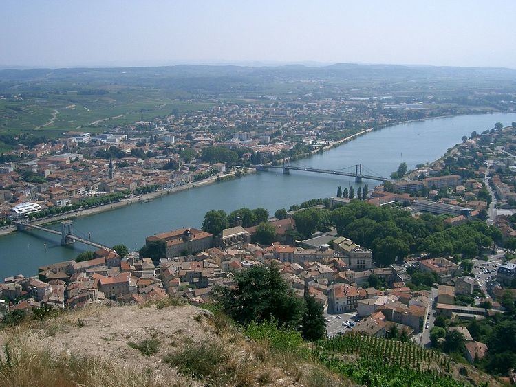
Tournon-sur-Rhône ([tuʁ.nɔ̃.syʁ.ʁon]) is a commune in the Ardèche department in southern France.
Contents
Map of 07300 Tournon-sur-Rh%C3%B4ne, France
Geography
It is located on the right bank of the Rhône River, opposite Tain-l'Hermitage, which is located in the Drôme département.
Sights
Twin towns
Tournon-sur-Rhône is twinned with:
References
Tournon-sur-Rhône Wikipedia(Text) CC BY-SA