
Time zone CET (UTC+1) Area 8.04 km² Local time Monday 8:27 PM | Region Occitanie Canton Toulouges INSEE/Postal code 66213 /66350 Population 5,837 (2007) | |
 | ||
Weather 18°C, Wind NW at 18 km/h, 47% Humidity | ||
Toulouges ([tuluʒ]; Catalan: Toluges [tuˈluʒəs]) is a commune in the Pyrénées-Orientales department in southern France.
Contents
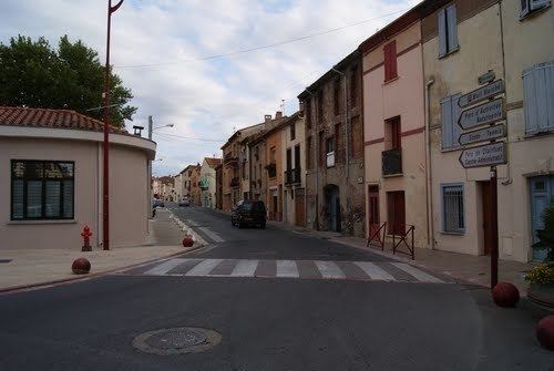
Map of Toulouges, France
Geography
Toulouges is located between Thuir and Perpignan, in the canton of Toulouges and in the arrondissement de Perpignan.
The town covers an area of 8.04 km2 (3.10 sq mi), with 669 inhabitants per km². Toulouges borders the following municipalities: Perpignan, Canohès, Thuir, El Soler, and Baho.
History
Toulouges probably grew upon a Roman villa. It was first mentioned in 904 at the same time mentioning the church called Tulogias. Other names that are presumably Toulouges are Tologis (in a 937 document), Tulujes (1027), Tuluges (1030), Toluges (1119).
During the 14th and 15th centuries Toulouges grew rapidly. A wall and hospital were in existence. In 1628, however, part of the population was killed by a plague. Today, though, Toulouges is again growing rapidly.