
Country United States County Ellis Time zone CST (UTC-6) Elevation 610 m | State Kansas ZIP code 67601 | |
 | ||
Weather 18°C, Wind N at 18 km/h, 53% Humidity | ||
Union pacific sd70ace 8730 and sd70m 4469 lead a grain train at toulon kansas
Toulon is an unincorporated community in Big Creek Township, Ellis County, Kansas, United States.
Contents
History
Toulon was likely named, directly or indirectly, for the city of Toulon, in France.
A post office in Toulon opened in 1889, closed temporarily in 1891, reopened in 1898, and closed permanently in 1901.
Geography
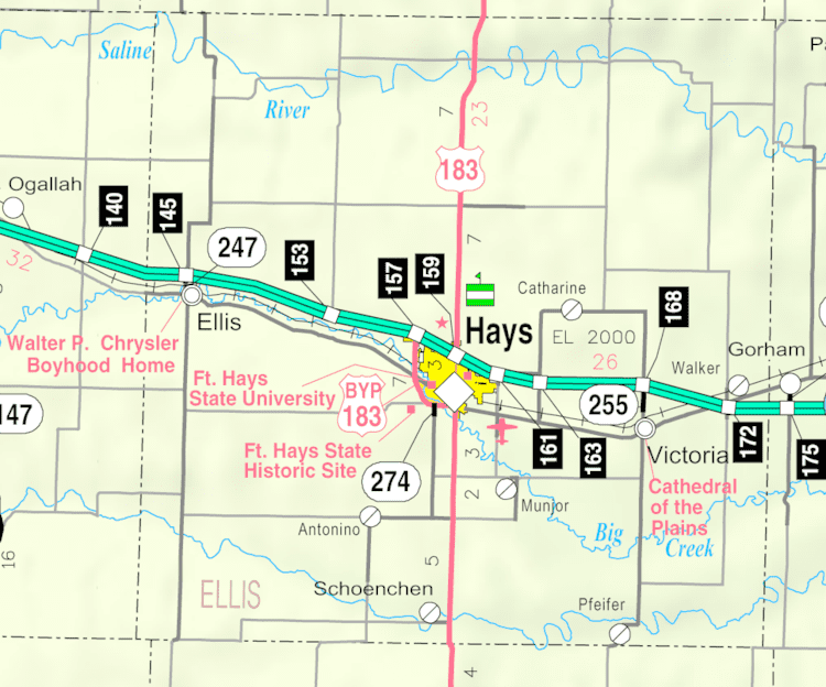
Toulon is located at 38°51′06″N 99°14′29″W (38.8516785, -99.2414894) at an elevation of 2,001 feet (610 m). It is 1.8 miles (2.9 km) south of Interstate 70 and 2 miles (3.2 km) east of Hays city limits.
Toulon lies 4 miles (6.4 km) north of Big Creek in the Smoky Hills region of the Great Plains.
Transportation
The old alignment of U.S. Route 40, now a paved county road, runs southeast-northwest through Toulon. Another paved county road, Toulon Avenue, runs north-south through the community, connecting to an interchange with Interstate 70 to the north.
The Kansas Pacific (KP) line of the Union Pacific Railroad runs southeast-northwest through Toulon, parallel to the old alignment of U.S. 40.