
Postcode(s) 3012 Postal code 3012 Population 0 (2011) | State electorate(s) Footscray Area 210 ha Federal division Division of Gellibrand | |
 | ||
Location 9 km (6 mi) from Melbourne | ||
Tottenham is an industrial suburb 9 km (5.6 mi) west of Melbourne, Victoria, Australia. Its local government area is the City of Maribyrnong. According to the 2011 census, there were no residents.
Contents
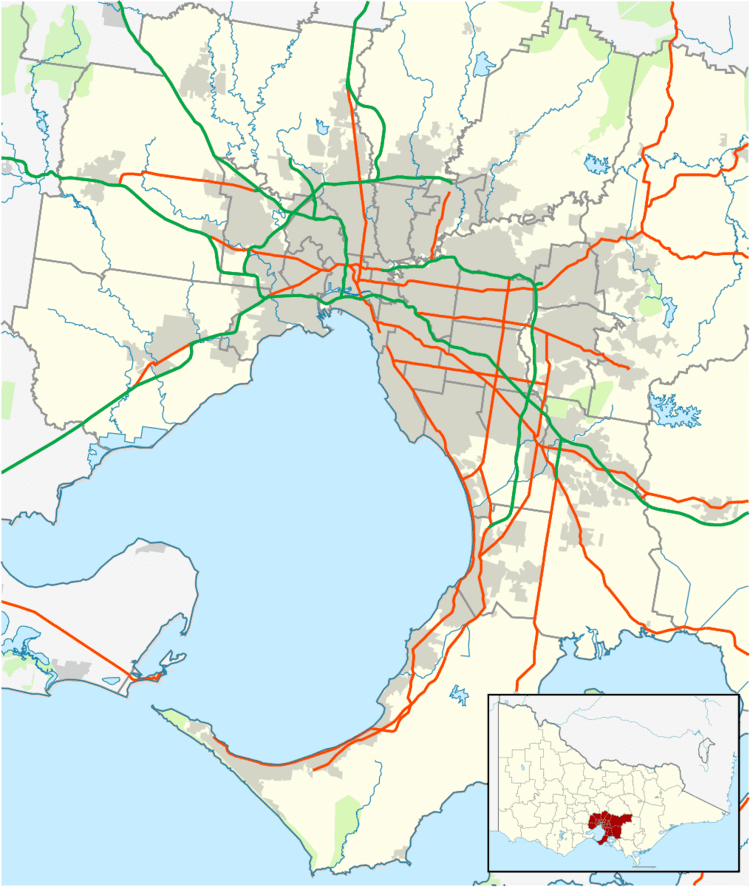
Map of Tottenham VIC 3012, Australia
It is bounded by Sunshine Road to the north, Sredna Street, Paramount Road and Tottenham Parade to the east, Geelong Road to the south and the Newport–Sunshine railway line.
Tottenham is mostly an industrial suburb, with the Olex Cable manufacturing facility one of the many industrial businesses located in Tottenham.
History
Tottenham Central Post Office opened on 1 May 1947. Tottenham East Post Office opened on 18 November 1935 and closed in 1973. A Tottenham R.A.A.F. Post Office was open from 1947 until 1957.
Transportation
Tottenham is serviced by the Tottenham railway station, which lies on the convergent point of the borders of West Footscray, Tottenham and Braybrook. It is a station on the Sunbury railway line.