Vehicle registration WB Local time Monday 10:15 PM ISO 3166 code ISO 3166-2:IN | Time zone IST (UTC+5:30) Website wb.gov.in | |
 | ||
Weather 23°C, Wind NE at 3 km/h, 75% Humidity | ||
Totopara
Totopara is a small village on a hillock located 89° 20'E and 26° 50'N in the Alipurduar district of West Bengal, India.
Contents
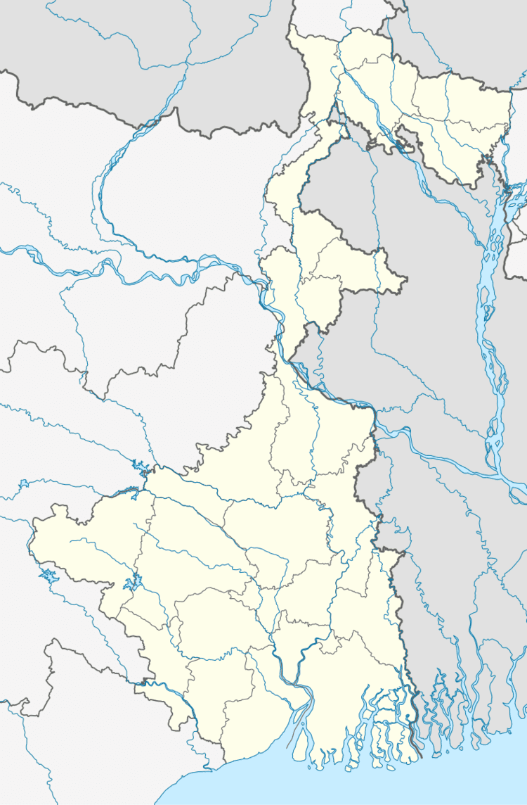
Map of Totopara, West Bengal 735220
This village is home to the unique Toto tribe that is one of a kind in the world. The village is about 22 km from Madarihat, which is the entry point of the famous Jaldapara National Park.
Administratively, this village falls under the Madarihat police station. It is bounded by the foothills of Bhutan to the north, Torsa River to the east, and Titi river and the Titi reserve forest on the south-west separated by the Hauri river.
The nearest village is Ballalguri, which is about 5 km to the south of Totopara. There is a single lane motorable road leading to this village from the National Highway 31 through Hantapara. The area of the village is about 8.08 km².
In 1990 a primary school was opened to cater to the children of the village and since 1995, a high school with hostel facility was also opened. There is one primary health centre in the village.
Totopara s forgotten children m4v
Geography
Totopara is located at 26.83°N 89.31°E / 26.83; 89.31.
