
OS grid reference SZ328873 Dialling code 01983 | Civil parish Totland Sovereign state United Kingdom Postcode district PO39 Population 2,927 (2011) | |
 | ||
Points of interest The Needles, The Needles Battery, Needles Lighthouse, Tennyson Down, The Needles Headland | ||
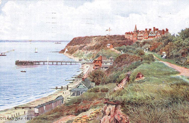
Totland is a village, civil parish and electoral ward at the western tip of the Isle of Wight. It lies on the coast at Colwell Bay, which is the closest part of the island to the British mainland. The village lies on the Western peninsula where the Western Yar almost cuts through along with Alum Bay and Freshwater.
Contents
Map of Totland, UK
Today
It is linked to other parts of the Island by Southern Vectis buses on route 7, and route 12 serving Freshwater, Yarmouth and Newport including intermediate villages. In the summer, open-top bus "The Needles Tour" also serves the village.
Christ Church, Totland is the Church of England parish.
Environmental concerns
During Christmas 2012 a large landslip undermined an extensive section of the sea wall separating Totland Bay from Colwell Bay. The local council sealed off the undermined section from the public. After a successful local campaign the council accepted a compromise solution and a new path was opened to the public on 12th Sep 2015.