
Elevation 1,231 m (4,039 ft) Postal code 37300 Area 1,186 km² Area code 366 | Region Black Sea Time zone EET (UTC+2) Licence plate 37 Local time Monday 6:09 PM | |
 | ||
Weather 14°C, Wind S at 6 km/h, 23% Humidity | ||
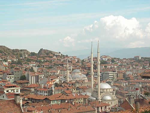
Tosya (Ottoman Turkish: طوسيه), called Dokeia under the Byzantine Empire, is a town and district of Kastamonu Province in the Black Sea region of Turkey. According to the 2000 census, the population of the district is 41,995. About 30,000 live in the town of Tosya. The district covers an area of 1,186 km2 (458 sq mi), and the town lies at an elevation of 1,231 m (4,039 ft). The district produces a third of Turkey's total rice harvest. Timber is another important industry in Tosya.
Map of Tosya, 37300 Tosya%2FKastamonu, Turkey
References
Tosya Wikipedia(Text) CC BY-SA