
OS grid reference SD283941 Sovereign state United Kingdom Local time Monday 3:03 PM Dialling code 015394 District South Lakeland | Civil parish Torver Post town CONISTON Postcode district LA21 | |
 | ||
Weather 12°C, Wind S at 23 km/h, 62% Humidity | ||
Torver lunar ritual
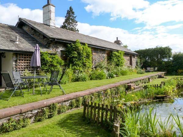
Torver is a hamlet and civil parish in the South Lakeland district of Cumbria 3 miles (4.8 km) south west of the village of Coniston and 1 mile (1.6 km) west of Coniston Water. Owing to the minimal population details are maintained under the parish of Blawith and Subberthwaite.
Contents
Map of Torver, Coniston, UK
Farming has always played an important part in Torver's history, though slate mining increased when the Coniston branch of the Furness Railway was opened in the 19th century (it subsequently closed in 1958). Nowadays, the hamlet remains a starting point for many walks around the Duddon Valley and Coniston Water, an area popularised by William Wordsworth.
References
Torver Wikipedia(Text) CC BY-SA