Population 995 (2006 census) Postal code 4350 | Postcode(s) 4350 Area 9.8 km² | |
 | ||
Location 7 km (4 mi) W of Toowoomba | ||
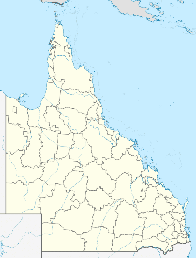
Torrington is a suburb of Toowoomba, Queensland, Australia, located 7 kilometres (4 mi) west of the city centre off Warrego Highway. A significant industrial area serving the Toowoomba region is located along the suburb's eastern boundary on Boundary Road.
Map of Torrington QLD 4350, Australia
References
Torrington, Queensland Wikipedia(Text) CC BY-SA
