
Time zone CET/CEST (UTC+1/+2) Area 25.81 km² Postal code 06774 | Elevation 118 m (387 ft) Postal codes 06774 Local time Monday 10:36 AM Population 565 (31 Dec 2008) Dialling code 034243 | |
 | ||
Weather 10°C, Wind N at 14 km/h, 80% Humidity | ||
Tornau is a village and a former municipality in Wittenberg district in Saxony-Anhalt, Germany. Since 1 January 2011, it is part of the town Gräfenhainichen. It was part of the administrative community (Verwaltungsgemeinschaft) of Tor zur Dübener Heide.
Contents
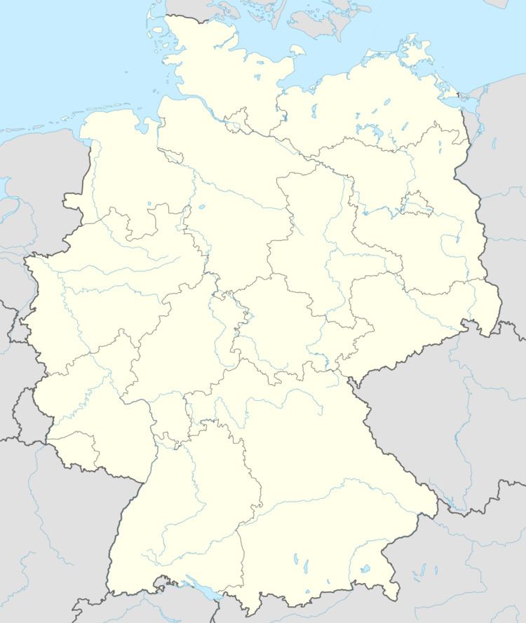
- Map of Tornau GrC3A4fenhainichen Germany
- Location
- Neighbouring municipalities
- Politics
- Economy and transportation
- References
Map of Tornau, Gr%C3%A4fenhainichen, Germany
Location
Tornau lies about 5 km north of Bad Düben in the Düben Heath Nature Park.
Neighbouring municipalities
Politics
The municipal council is made up of nine councillors.
(as of municipal election on 5 September 2004)
Economy and transportation
Federal Highway (Bundesstraße) B 2 between Leipzig and Wittenberg runs straight through the municipality, while State Highway (Landesstraße) 130, which connects to the B 2 and the B 183/107, crosses the municipal area.
References
Tornau, Wittenberg Wikipedia(Text) CC BY-SA