
- summer (DST) CEST (UTC+2) Local time Monday 10:37 AM | Area 57.77 km² | |
 | ||
Weather 20°C, Wind E at 5 km/h, 42% Humidity | ||
Tornaľa (Slovak: Šafárikovo from 1948–1992; Hungarian: Tornalja) is a town and municipality in Revúca District in the Banská Bystrica Region of Slovakia, with a population of almost 8,000.
Contents
Map of 982 01 Torna%C4%BEa, Slovakia
History
The first written record of Tornaľa dates from 1245. It was ruled by Ottoman Empire as part of Filek sanjak (Its centre was Rima Sonbot) during periods of 1554-1593 and 1596-1686. It was part of Czechoslovakia in 1919. Czechoslovak rule was lasted till 1993 except Hungarian rule between 1938 and 1945 due to Vienna Awards.
Geography
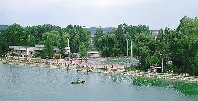
Tornaľa lies at an altitude of 183 metres (600 ft) above sea level and covers an area of 57.768 square kilometres (22.3 sq mi). It is located in the historical Gemer region and lies on the Slaná river.
Demographics
According to the 2001 census, the town had 8,169 inhabitants. 62.14% of inhabitants were Hungarians, 29.77% Slovaks, 6.70% Roma and 0.50% Czech. The religious make-up was 49.37% Roman Catholics, 17.03% people with no religious affiliation and 7.33% Lutherans.