
Country South Sudan County Torit County Elevation 615 m Number of airports 1 | State Imatong State Municipality 19 August 2013 Local time Monday 10:44 AM | |
 | ||
Weather 33°C, Wind E at 16 km/h, 25% Humidity | ||
Torit is a town in South Sudan.
Contents
- Map of Torit South Sudan
- Local dances of last day of funeral in torit south sudan
- Location
- Overview
- History
- Population
- Points of interest
- Photos
- References
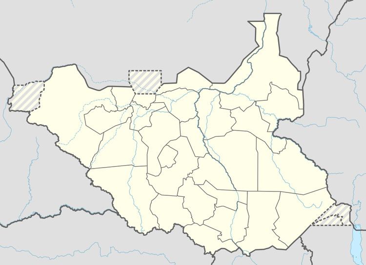
Map of Torit, South Sudan
Local dances of last day of funeral in torit south sudan
Location
The town is located in Torit County in Imatong State, in the southeastern part of South Sudan, close to the International border with the Republic of Uganda. Its location lies approximately 150 kilometres (93 mi), by road, east of Juba, the capital and largest city in that country. The coordinates of Torit are:4° 24' 28.80"N, 32° 34' 30.00"E (Latitude:4.4080; Longitude:32.5750).
Overview
Pajok is the Payam seat of Magwi County. It is also the Payam of Eastern Equatoria State, one of the ten (10) states which constitute South Sudan. The town boasts of an airport, two hospitals, several primary schools and two secondary schools. The main road from Juba, South Sudan to [Pogee], Uganda, passes through Magwi also the alternative road to Kenya via Torit passes through Lokiciogyo town.
History
In 1955 there was a slaughter in Torit during an Equatoria Corps riot. In 1964 the military government in Khartoum closed "all the Christian mission schools" in the area Torit was upgraded to Municipality status administered by a mayor on August 19, 2013.
Population
The population of Torit was estimated at about 20,050, in 2004, and, according to census results, 33,657 in 2008.
Points of interest
The following points of interest are found in Torit: