
Elevation 240 m Local time Monday 7:00 AM | Postal code 683 26 Area 4.43 km² | |
 | ||
Weather 9°C, Wind N at 16 km/h, 85% Humidity | ||
Sdh topolany 2004 2016
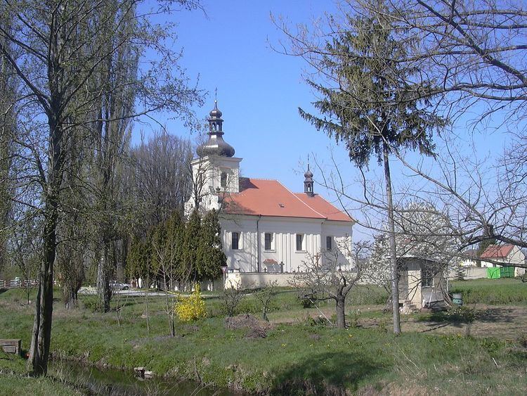
Topolany is a village and municipality (obec) in Vyškov District in the South Moravian Region of the Czech Republic.
Contents
Map of 682 01 Topolany, Czechia
The municipality covers an area of 4.43 square kilometres (1.71 sq mi), and has a population of 301 (as at 28 August 2006).
Topolany lies approximately 4 kilometres (2 mi) east of Vyškov, 32 km (20 mi) east of Brno, and 210 km (130 mi) south-east of Prague.
Sv tenie aut topolany
References
Topolany Wikipedia(Text) CC BY-SA