Mission type Optical imaging Manufacturer SSTL Inclination 98.18° Launch date 27 October 2005 | COSPAR ID 2005-043B Inclination 98.18° Period 1.6 hours | |
 | ||
Perigee 683 kilometres (424 mi) Similar Cartosat‑1, EROS B, BILSAT‑1, Cartosat‑2, Cartosat‑2A | ||
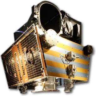
Topsat box ts 5000 receiver installation
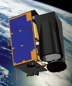
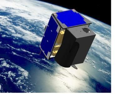
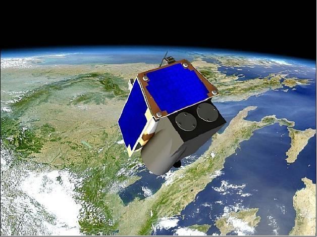
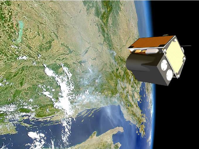
TopSat (Tactical Operational Satellite) is a British Earth observation satellite, currently in Low Earth Orbit. The nanosatellite was launched in October 2005 alongside the Beijing-1 Disaster Monitoring Constellation satellite by a Cosmos rocket from Plesetsk Cosmodrome in Russia.
Contents
Mission
TopSat carries out imaging with a ground resolution of 2.5 m. Much smaller and cheaper than other imaging satellites of similar high resolution, TopSat has been used to demonstrate the feasibility of providing images on demand to portable ground stations, such as that which might be deployed by the military or another disaster relief organisation.
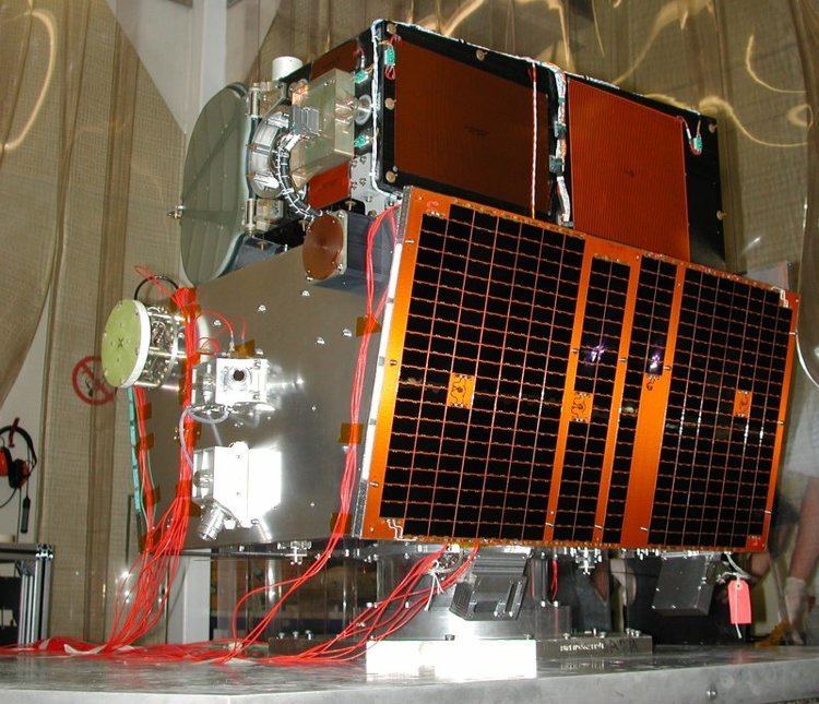
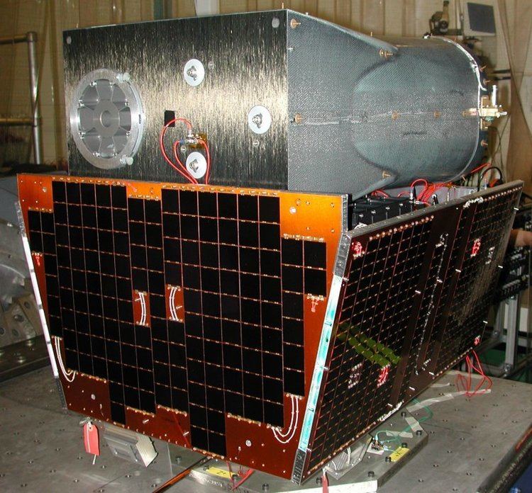
TopSat was built in the United Kingdom by Surrey Satellite Technology Ltd, QinetiQ and The Rutherford Appleton Laboratory under the British National Space Centre Mosaic programme. The engineering model of TopSat now lives in the space gallery of London's Science Museum.
TopSat won the 2006 Popular Science "Best of What's New" Grand Award in the Aviation and Space category.