Suvarna Garge (Editor)

Toome Upper

Updated on
Edit
Like
Comment
Share on FacebookTweet on TwitterShare on LinkedInShare on Reddit
Sovereign state
  
United Kingdom

County
  
Antrim

Country
  
Northern Ireland

Toome Upper

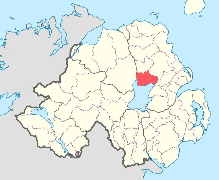
Toome Upper is a barony in County Antrim, Northern Ireland. To its south lies Lough Neagh, and it is bordered by five other baronies: Toome Lower to the north; Antrim Lower to the north-east; Antrim Upper to the east; Massereene Lower to the south-east; and Loughinsholin to the south-east. Toome Upper also formed part of the medieval territories known as the Route and Clandeboye.

Contents

List of settlements

Below is a list of settlements in Toome Upper:

Towns

  • Ahoghill (also part of baronies of Toome Lower and Antrim Lower)
  • Antrim (also part of barony of Toome Lower)
  • Milltown
  • Randalstown
  • Population centres

  • Crosskeys
  • Toome
  • Newferry
  • Whiteside's Corner
  • List of civil parishes

    Below is a list of civil parishes in Toome Upper:

  • Antrim (split with barony of Antrim Upper)
  • Ballyscullion (split with barony of Loughinsholin)
  • Cranfield
  • Drummaul
  • Duneane
  • Grange of Ballyscullion
  • Grange of Shilvodan
  • References

    Toome Upper Wikipedia