Postcode(s) 4370 Toolburra Rosehill | Postal code 4370 | |
 | ||
Location 9 km (6 mi) NW of Warwick164 km (102 mi) SW of Brisbane | ||
Toolburra is a locality in the Southern Downs Region, Queensland, Australia.
Contents
Map of Toolburra QLD 4370, Australia
Geography
Toolburra is an agricultural locality with little urban development. The Condamine River passes through the district and forms part of its boundaries on the north-west and south-east. The river's confluence with tributary Splityard Creek occurs in the centre of the district. The Warwick-Allora Road passes through the locality from the south-east to the north-west forming part of the south-east and north-west boundaries of the locality. The Southern railway line runs parallel and slightly to the north of the Warwick-Allora Road. Toolburra railway station is on this line; however there are currently no passenger services operating on this line.
History
The locality name Toolburra is taken from an 1840 pastoral run, and is believed to be a word from the Gidabal language, which means either tree people, territory marked by a clump of trees or spears being thrown.
Heritage listings
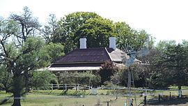
Heritage-listed sites in Toolburra include:
