
Time zone MST (no DST) (UTC-7) Area 87 ha | Elevation 5,720 ft (1,740 m) Area code(s) 928 Population 256 (2010) | |
 | ||
Weather 17°C, Wind W at 19 km/h, 31% Humidity | ||
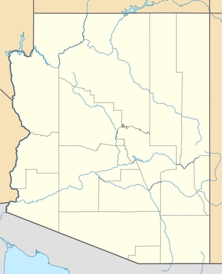
Tonto Village is a census-designated place (CDP) in Gila County, Arizona, United States. The population was 256 at the 2010 United States Census.
Geography
Tonto Village is located in northern Gila County in Thompson Draw, a valley south of the Mogollon Rim. It is 1 mile (1.6 km) west of Arizona State Route 260, which leads southwest 15 miles (24 km) to Payson.
According to the United States Census Bureau, the Tonto Village CDP has a total area of 0.34 square miles (0.87 km2), all of it land.
It includes a K-10 charter school, a Southern Baptist church and one restaurant.
References
Tonto Village, Arizona Wikipedia(Text) CC BY-SA