
Local time Monday 2:43 AM | ||
 | ||
Weather 21°C, Wind NW at 6 km/h, 89% Humidity | ||
Tompaso is a highland subdistrict located about 45 km south-west of Manado in Minahasa Regency, North Sulawesi, Indonesia. It also refers to a sub-tribe as part of larger Tontemboan tribe in the Minahasa ethnic group.
Contents
- Map of Tompaso Minahasa Regency North Sulawesi Indonesia
- Historical value
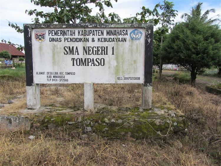
- Information
- Villages
- Key places
- References
Map of Tompaso, Minahasa Regency, North Sulawesi, Indonesia
Historical value
According to history, Tompaso is believed to be the origin of Minahasa people before they spread all over the land of Minahasa. One of its villages, Pinabetengan, inherited a megalithic stone about 4 m long and 2 m high tagged with full of carved pictures. The pictures portray some kind of lifetime covenant of how Minahasans were supposed to divide their territory and live peacefully.
Information
Villages
Key places
References
Tompaso Wikipedia(Text) CC BY-SA