
Country Switzerland District Hinterrhein Elevation 801 m Population 713 (31 Dec 2008) | Canton Graubünden SFOS number 3671 Local time Sunday 6:35 PM Postal code 7418 | |
 | ||
Website www.domleschg.ch SFSO statistics Weather 16°C, Wind N at 13 km/h, 56% Humidity | ||
Tomils is a former municipality in the district of Hinterrhein in the Swiss canton of Graubünden. It was formed on 1 January 2009 through the merger of Feldis/Veulden, Scheid, Trans and Tumegl/Tomils. On 1 January 2015 the former municipalities of Almens, Paspels, Pratval, Rodels and Tomils merged to form the new municipality of Domleschg.
Contents
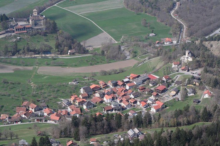
Map of Tomils, Switzerland
Demographics
Tomils had a population (as of 2013) of 717.
Dreibündenstein
The Dreibündenstein (|Romanish: Term bel) is a marker erected at the intersection of the Three Leagues (League of God's House, the League of the Ten Jurisdictions and the Grey League) which would found the modern canton of Graubünden. The stone is at an altitude of 2,160 m (7,090 ft) on the border between the municipalities of Domat/Ems, Scheid village (now part of Tomils municipality) and Malix. The original stone dates from 1722, and today is in the Rätian Museum in Chur. In 1742, Nicolin Sererhard mentions three stones. The Sektion Rhätia (Rhätian Section) of the Swiss Alpine club built this 2-metre (6 ft 7 in) tall stone marker in 1915. In 1970 a chair lift was added to mountain, making it easier to reach the marker.