
Postal Code 537037 Local time Sunday 7:24 PM | Time zone EET (UTC+2) Area code(s) +40 266 Population 2,553 (2011) | |
 | ||
Weather 20°C, Wind SW at 6 km/h, 22% Humidity | ||
Tomești (Hungarian: Csíkszenttamás, or colloquially Szenttamás, [ˈtʃiːksɛntɒmaːʃ]) is a commune in Harghita County, Romania. It lies in the Székely Land, an ethno-cultural region in eastern Transylvania. It is named after Saint Thomas. The commune is composed of a single village, Tomești.
Contents
Map of Tome%C8%99ti, Romania
Location
The village is located 22 km north of Miercurea-Ciuc along the Olt River.
History
Its name was first mentioned in 1333 when, a sacerdos de Sancto Toma, a priest from St Thomas was mentioned. In 1441, it is recorded by its Hungarian names as Zenth Thamas, in 1549 as Szent Tamás. Until 1919, its Romanian name was Sântămas.
The village was part of the Székely Land region of the historical Transylvania province. It belonged to Csíkszék district until the administrative reform of Transylvania in 1876, when fell within the Csík County in the Kingdom of Hungary. After the Treaty of Trianon of 1920, it became part of Romania and fell within Ciuc County during the interwar period. In 1940, the second Vienna Award granted Northern Transylvania to Hungary and the village was held by Hungary until 1944. After Soviet occupation, the Romanian administration returned and the commune became officially part of Romania in 1947. Between 1952 and 1960, the commune fell within the Magyar Autonomous Region, between 1960 and 1968 the Mureș-Magyar Autonomous Region. In 1968, the province was abolished, and since then, the commune has been part of Harghita County.
Demographics
The commune has an absolute Hungarian (Székely) majority. According to the 2011 census it has a population of 2,553 of which 99.37% or 2,537 are Hungarian. Formerly part of Cârța commune, the village broke off in 2004.
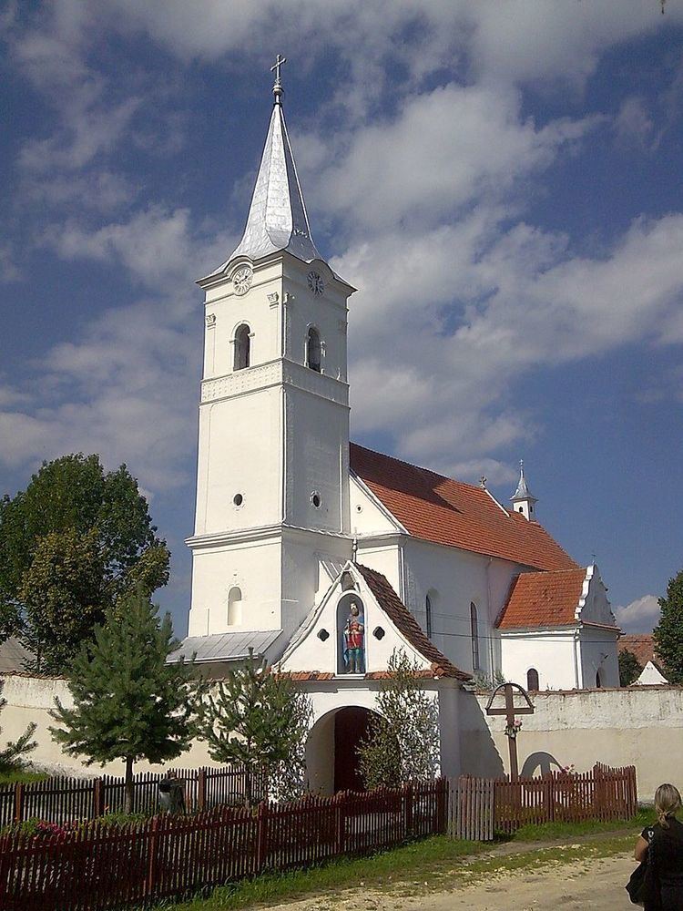
Landmarks
Twinnings
The village is twinned with