
Country Poland Car plates ETM Capital Tomaszów Mazowiecki | Seat Tomaszów Mazowiecki Area 1,026 km² Voivodeship Łódź Voivodeship | |
 | ||
Gminas Total 11 (incl. 1 urban)
Tomaszów Mazowiecki
Gmina Będków
Gmina Budziszewice
Gmina Czerniewice
Gmina Inowłódz
Gmina Lubochnia
Gmina Rokiciny
Gmina Rzeczyca
Gmina Tomaszów Mazowiecki
Gmina Ujazd
Gmina Żelechlinek Points of interest Niebieskie Źródła Nature R, Pilica River Skansen, Zamek w Inowłodzu, Groty Nagórzyckie, Tourist Trail "Bunker i | ||
Tomaszów Mazowiecki County (Polish: powiat tomaszowski) is a unit of territorial administration and local government (powiat) in Łódź Voivodeship, central Poland. It came into being on January 1, 1999, as a result of the Polish local government reforms passed in 1998. Its administrative seat and only town is Tomaszów Mazowiecki, which lies 49 kilometres (30 mi) south-east of the regional capital Łódź.
Contents
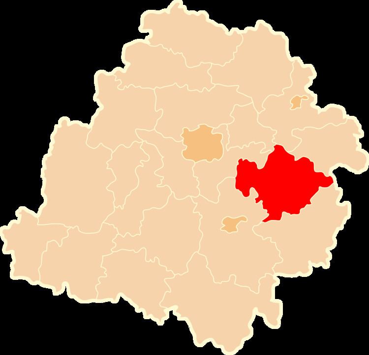
Map of Tomasz%C3%B3w Mazowiecki County, Poland
The county covers an area of 1,025.7 square kilometres (396.0 sq mi). As of 2006 its total population is 120,973, out of which the population of Tomaszów Mazowiecki is 66,705 and the rural population is 54,268.
Neighbouring counties
Tomaszów Mazowiecki County is bordered by Brzeziny County, Skierniewice County and Rawa County to the north, Grójec County and Przysucha County to the east, Opoczno County to the south-east, Piotrków County to the west, and Łódź East County to the north-west.
Administrative division
The county is subdivided into 11 gminas (one urban and 10 rural). These are listed in the following table, in descending order of population.