
- summer (DST) CEST (UTC+2) | Area 19.96 km² | |
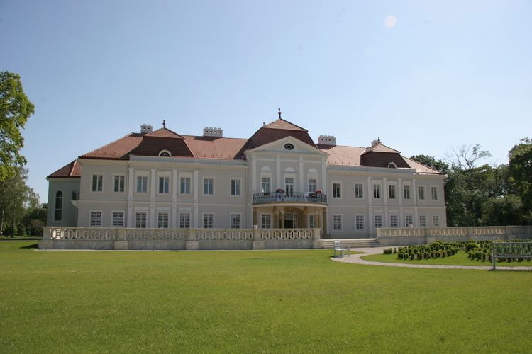 | ||
Tomášov (Hungarian: Fél) is a village and municipality in western Slovakia in Senec District in the Bratislava Region.
Contents
Map of 900 44 Tom%C3%A1%C5%A1ov, Slovakia
Geography
The municipality lies at an altitude of 128 metres and covers an area of 19.828 km².
History
In historical records the village was first mentioned in 1283. After the Austro-Hungarian army disintegrated in November 1918, Czechoslovak troops liberated the occupied area, later acknowledged internationally by the Treaty of Trianon. Between 1938 and 1945 Tomášov was once more occupied by Miklós Horthy's Hungary through the First Vienna Award. From 1945 until the Velvet Divorce, it was part of Czechoslovakia. Since then it has been part of Slovakia.
Population
It has a population of about 2143 people.
References
Tomášov Wikipedia(Text) CC BY-SA