Trisha Shetty (Editor)

Tokarnia (mountain)

Updated on
Edit
Like
Comment
Share on FacebookTweet on TwitterShare on LinkedInShare on Reddit
Location
  
Podkarpacie, Poland

Easiest route
  
Hike

Prominence
  
193 m

Parent range
  
Bukowica Range

Elevation
  
778 m

Mountain range
  
Bukowica Range

Tokarnia (mountain) httpsuploadwikimediaorgwikipediacommonsthu

Translation
  
tokować, meaning birds breeding dances hill (lechitic dialect)

Similar
  
Cergowa, Kamień, Rotunda, Chryszczata, Jaworzyna Konieczniańska

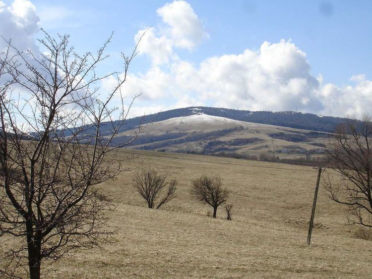
Takarnia is a peak in the Bukowica Range (part of the Pogórze Bukowskie ) in southern Poland. Its height is 778 meters. The southern part is a steep rocky wall, while the other side consist of less steep rocky fields. The Bukowica Range separating the west Low Beskids from the east Pogórze Bukowskie.

Contents

Map of Tokarnia, Poland

Hiking trails

  • European walking route E8
  • Iwonicz-Zdrój – Rymanów-Zdrój - Puławy – Tokarnia (778 m) – Przybyszów – Kamień (717 m) – Komańcza (Główny Szlak Beskidzki)
  • Pasmo Bukowicy - Kanasiówka (823 m) – Wisłok Wielki – Tokarnia (778 m), 1 km – Wola Piotrowa
  • Komańcza – Dołżyca – Garb Średni (822 m) – Kanasiówka (823 m) – Moszczaniec – Surowica – Darów – Puławy Górne– Besko
  • References

    Tokarnia (mountain) Wikipedia