
Max depth 37 m Surface elevation 50 m | Area 9.745 km² | |
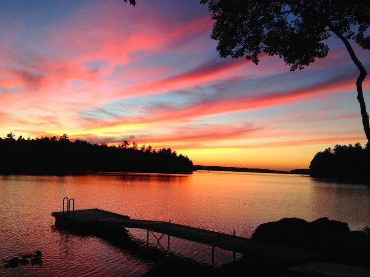 | ||
Enjoy a wonderful lakefront vacation on toddy pond maine
Toddy Pond (76°42′S 161°21′E) is a pond in an enclosed basin on the rock flats 2 nautical miles (3.7 km) northwest of Flagship Mountain, in Convoy Range, Victoria Land, Antarctica. The name is in the nautical beverage theme similar to Rum Pond and Tot Pond in this range. Named by a 1989-90 New Zealand Antarctic Research Program (NZARP) field party.
Contents
- Enjoy a wonderful lakefront vacation on toddy pond maine
- Map of Toddy Pond Maine USA
- Toddy pond maine rick mchale tbc avi
- References
Map of Toddy Pond, Maine, USA
This article incorporates public domain material from the United States Geological Survey document "Toddy Pond" (content from the Geographic Names Information System).
Toddy pond maine rick mchale tbc avi
References
Toddy Pond Wikipedia(Text) CC BY-SA