
 | ||
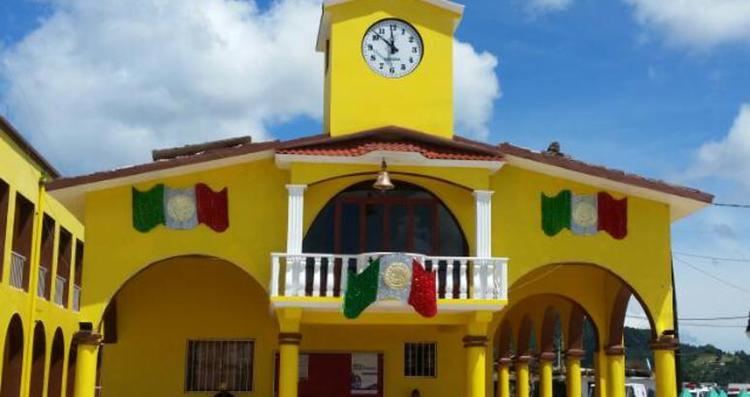
Tlaquilpa is a municipality located in the south zone in the State of Veracruz, about 105 km from the state capital of Xalapa. It has a surface of 58.40 km2. It is located at 18°36′N 97°07′W. The name comes from Náhuatl, and means “Bricklayers' place". Tlaquilpa is a very ancient village, which existed before the Spanish conquest. In the 16th century, it came under Zongolica's jurisdiction, with the name of Santa Maria Magdalena. In 1831 it was constituted as a municipality. Tlaquilpa borders on Mixtla de Altamirano, Astacinga and Texhuacán.
Contents
Map of Tlaquilpa, Ver., Mexico
Geographic limits
The municipality of Tlaquilpa is delimited to the north by Xoxocotla and Atlahuilco, to the east by Los Reyes, to the south by Astacinga and to the west by Puebla State. The municipality is watered by different creeks and springs taking the names of the localities where they are situated.
Agriculture
Maize, beans and rice are the principal agricultural products.
July 21 to 22, a celebration in honor of Santa María Magdalena, patroness of the town, takes place. On 12 December there is the celebration in honor of the Virgin of Guadalupe.
Weather
The weather in Tlaquilpa is very warm and wet all year with rains in summer and autumn.