 | ||
Pri stas de tlacojalpan se inconforman por retirarle candidatura a paco carvajal
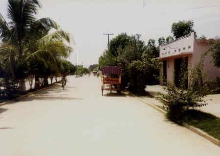
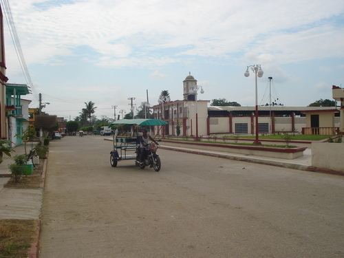
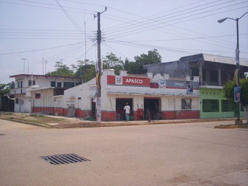
Tlacojalpan is a municipality located in the south zone in the State of Veracruz, Mexico, about 175 km (109 mi) from state capital Xalapa. It has a surface of 91.30 km2. It is located at 18°14′N 95°57′W. The name comes from the language Náhuatl, Tlahco-xal-pan; that means “In the half of the sandbank".
Contents
- Pri stas de tlacojalpan se inconforman por retirarle candidatura a paco carvajal
- Tlacojalpan cancion
- Geographic Limits
- Agriculture
- Celebrations
- Weather
- References
Tlacojalpan cancion
Geographic Limits
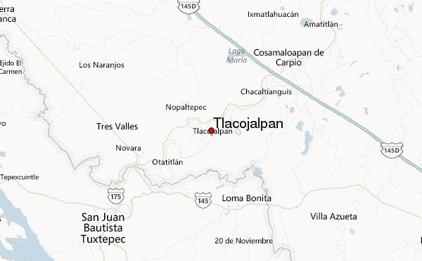
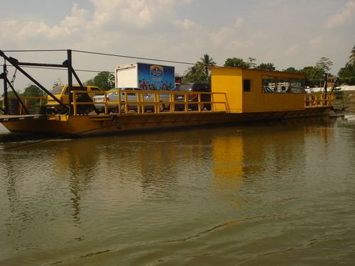
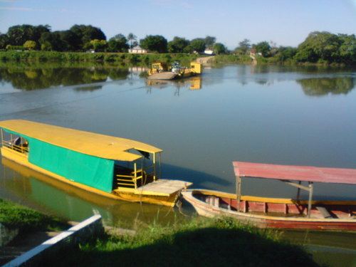
The municipality of Tlacojalpan is delimited to the north by Cosamaloapan, to the east by Tuxtilla, to the south by Oaxaca State and to the west by Otatitlán. It is watered by creeks that are tributaries of the river Papaloapan
Agriculture
It produces principally maize, beans, rice, sugarcane and mango.
Celebrations
In Tlacojalpan, in January takes place the celebration in honor to San Cristobal, Patron of the town, and in December takes place the celebration in honor to Virgen de Guadalupe.
Weather
The weather in Tlacojalpan is very warm and wet all year with rains in summer and autumn.