
Time zone CET (UTC+1) Area 126.6 km² Local time Saturday 9:27 PM | County Szabolcs-Szatmár-Bereg Postal code 4440 Population 13,473 (2005) Area code 42 | |
 | ||
Weather 14°C, Wind SE at 6 km/h, 46% Humidity | ||
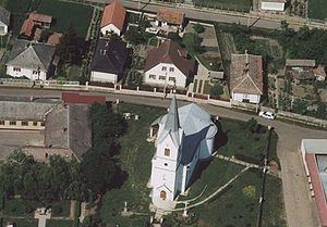
Tiszavasvári is a town in Szabolcs-Szatmár-Bereg county, in the Northern Great Plain region of eastern Hungary.
Contents
Map of Tiszavasv%C3%A1ri, Hungary
History
The settlement of Tiszavasvári was created in 1941 by merging the former independent settlements of Tiszabűd and Szentmihály under the name of Bűdszentmihály. The villagers of Tiszabűd opposed the merger and the two communities were separated in 1946 but only for four years. In 1950 the two settlements were again merged. The name of the locality was changed to Tiszavasvári in 1952 in memory of Pál Vasvári, a Hungarian writer and participant in the Hungarian Revolution of 1848.
Geography
It covers an area of 126.59 km2 (49 sq mi) and has a population of 13,473 people (2005).
Sister cities
References
Tiszavasvári Wikipedia(Text) CC BY-SA