
Primary outflows Fall Brook Surface area 194 acres (79 ha) Area 79 ha | Basin countries United States Average depth 7 ft (2.1 m) Mean depth 2.13 m | |
 | ||
Primary inflows | ||
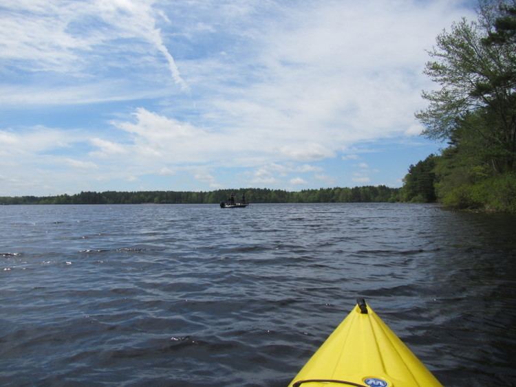
Tispaquin Pond is a 194-acre (0.79 km2) warm water pond in Middleborough, Massachusetts. The pond is in the Taunton River Watershed. The average depth of the pond is seven feet, and the maximum depth is eight feet. Transparency of the water is six feet. Shorts Brook and Woods Brook provide the inflow for the pond. The outflow is Fall Brook, a tributary of the Nemasket River. Camp Avoda and Camp Yomechas are located on the pond. Access to the southern shore of the pond is via Eldon Street off Rocky Gutter Street. An unpaved launch area is suitable for car top boats and canoes. It is great for fishing, and is a great place for yellow perch and largemouth bass.
Map of Tispaquin Pond, Middleborough, MA 02346, USA
References
Tispaquin Pond Wikipedia(Text) CC BY-SA