
Country Albania Villages 248 County Seat Tirana Area 1,652 km² Population 811,649 (2016) | Communes 5 Established 2000 Time zone CET (UTC+1) Elevation 156 m | |
 | ||
Destinations Tirana, Kavajë, Golem, Kavajë, Petrelë, Vorë Clubs and Teams FK Partizani Tirana, Besa Kavajë, FC Kamza Colleges and Universities Polytechnic University of Tirana, European University of Tirana, Agricultural University of Tirana, Luarasi University, Polis University Points of interest Mount Dajt, Skanderbeg Square, National Historical Museum, Et'hem Bey Mosque, National Art Gallery of Albania | ||
Tirana County is a county in central Albania. The Tirana County borders on the Durrës County in the north, Dibër County in the northeast, Elbasan County in the southeast, Fier County in the southwest and the Adriatic Sea in the west.
Contents
Map of Tirana County, Albania
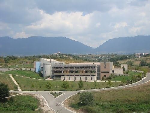
The central city Tirana is one of largest cities in the Balkan Peninsula and ranks 7th, with a population of 610,070.
The area has been populated since Paleolithic times dating back 10,000 to 30,000 years ago. As argued by various archaeologists, Tirana and its suburbs are filled with Illyrian toponyms as its precincts are some of the earliest regions in Albania to be inhabited. Tirana was founded as a city in 1614 although the area has been continuously inhabited since antiquity.
Mount Dajt National Park is located in Tirana County. From this area there is an excellent view of Tirana and its plain. This is the reason this place has been named as the Balcony of Tirana.
History
The area has been populated since the Paleolithic era, dating back 10,000 to 30,000 years ago, as suggested by evidence from tools excavated near Mount Dajt's quarry and in Pellumba Cave. As argued by various archaeologists, Tirana and its suburbs are filled with Illyrian toponyms, as its precincts are some of the earliest inhabited regions in Albania. The Illyrians called the settlement Tërana.
The oldest discovery in downtown Tirana was a Roman house, later transformed into an aisleless church with a mosaic-floor, dating to the 3rd century A.D., with other remains found near a medieval temple at Shengjin Fountain in the eastern suburbs. A castle possibly called Tirkan or Theranda, whose remnants are found along Murat Toptani Street, was built by Emperor Justinian in 520 A.D. and restored by Ahmed Pasha Toptani in the 18th century. The area had no special importance in Illyrian and classical times. In 1510, Marin Barleti, an Albanian Catholic priest and scholar, in the biography of the Albanian national hero Skanderbeg referred to this area as a small village.
Geography
Tirana County is located in the central part of Albania. It borders to the Adriatic Sea in the west. The climate is generally Mediterranean but varies by local topography. There are diverse microclimates in the county. Summers are dry while heavy rains are experienced during the winter. Climate conditions near Tirana are conducive to farming and related agricultural industries.
Mount Dajt is a mountain and national park in Tirana County, to the east of Tirana. Its highest peak is at 1,613 m (5,292 ft). In winter, the mountain is often covered with snow, and it is a popular retreat to the local population of Tirana that rarely sees snow falls. Its slopes have forests of pines, oak and beech, while its interior contains canyons, waterfalls, caves, a lake, and an ancient castle. In addition to the forests and beautiful mountain landscapes with many wild flowers, numerous mammals are protected as well. In the park there exist wild boar, eurasian wolf, red fox, European hare, brown bears and wildcats. In the lower part of the mountains the vegetation is scrub determined with much heath, myrtle and fragaria. Oak dominates at around the 1,000 metres altitude zone following with beech forests with some conifers. Perched on the top there is almost no vegetation.
One of Tirana's main water sources, Bovilla Lake is located to the northeast of Brar village. On the other extremity of the park, along Erzeni River is found the impressive Pellumbas Cave, Erzeni Canyon and Peshkashesh Dam.
The biggest river is the Erzeni River which flows through Bërzhitë, Petrelë, Vaqarr, Ndroq, Shijak and Sukth. It flows into the Adriatic Sea near Sukth, north of Durrës.
Administrative divisions
Until 2000, Tiranë County was subdivided into two districts: Kavajë, and Tiranë. Since the 2015 local government reform, the county consists of the following 5 municipalities: Kamëz, Kavajë, Rrogozhinë, Tirana and Vorë. Before 2015, it consisted of the following 29 communes:
The municipalities consist of about 250 towns and villages in total. See Villages of Tirana County for a structured list.
Demographics
According to the last national census from 2011 this county has 749,365 inhabitants. It counted the following numbers in the county per ethnic group: