
Country United States Area code(s) 276 Elevation 840 m | Time zone Eastern (EST) (UTC-5) GNIS feature ID 1487929 Local time Saturday 1:02 PM | |
 | ||
Weather 8°C, Wind W at 11 km/h, 81% Humidity | ||
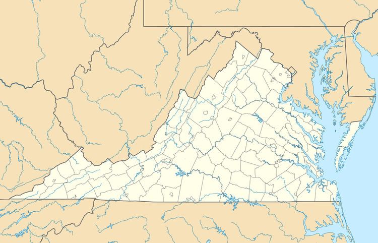
Tiptop is an unincorporated community located in Tazewell County, Virginia, United States. Tip Top was named for being the highest elevated point on the Norfolk and Western Railroad.
Map of Tiptop, VA 24630, USA
References
Tiptop, Virginia Wikipedia(Text) CC BY-SA