
Country New Zealand | Local time Sunday 3:13 AM | |
 | ||
Weather 19°C, Wind NE at 10 km/h, 96% Humidity | ||
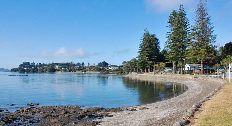
Tinopai is a settlement on the Komiti Bay, part of the Hukatere Peninsula in the northern Kaipara Harbour in Northland, New Zealand. The Otamatea River flows from the north east past Tinopai and into the harbour. Matakohe is 23 km (14 mi) to the north.
Contents
Map of Tinopai 0593, New Zealand
It is now a quiet backwater. The population is approximately 400, but expands to 1000 during the summer holiday season.
The Hukatere Scenic Reserve is on the road to Matakohe and contains a bush walk with mature kauri trees, to the north of Tinopai.
History
The original settlement was called Te Komiti, which was a regular stopping point for Māori travellers on the Kaipara. A large raupo church, capable of holding several hundred people, was built here in 1852. The Komiti Fruitlands Development Association bought 3,255 acres (13.17 km2) in 1915 to grow fruit, particularly apples, and built a wharf in 1917 from which to ship them. They renamed the area "Tinopai Fruitlands" in 1918. Apple growing finished in the mid-1930s due to the Great Depression and poor management.
Education
Tinopai School is a coeducational full primary (years 1-8) school with a decile rating of 1 and a roll of 27. The school opened on 13 September 1916.