
Demonym(s) Tingwickois Postal code(s) J0A 1L0 Area 170.1 km² Population 1,395 (2011) Area code 819 | Constituted December 12, 1981 Time zone EST (UTC−5) Geographical code 39025 Local time Saturday 10:40 AM Province Québec | |
 | ||
Weather 1°C, Wind NE at 16 km/h, 97% Humidity RCM Arthabaska Regional County Municipality | ||
Tingwick is a Canadian municipality of Quebec established in Arthabaska Regional County Municipality, Quebec.
Contents
Map of Tingwick, QC, Canada
Geography
The Municipality of Tingwick is located inside Tingwick township that is part of Eastern Townships. There are 2 rivers: Rivière des Pins and Rivière des Rosiers (It was also called Trout River).
Sport
Skiing center at mount Gleason.
Economy
Agriculture: milk production, pig and maple sugar.
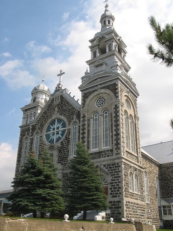
Building
Event
Festival "Rodeo Mecanique" in August.
References
Tingwick, Quebec Wikipedia(Text) CC BY-SA