Chinese 汀角 Jyutping ding1 gok3 | Hanyu Pinyin | |
 | ||
Restaurants Tai Mei Tuk Carnival barbecue, 汀角灣燒烤農莊, Aqua Garden, Royal China Aqua Gar, The Cove View | ||
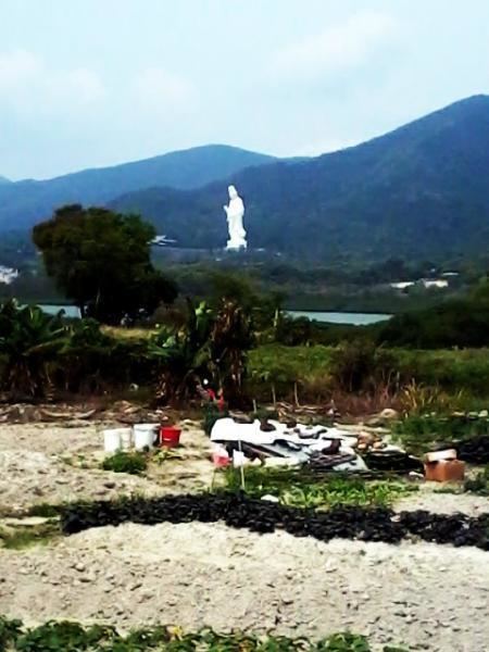
Ting Kok (Chinese: 汀角) is the name of an area and a village in the northeastern part of Hong Kong. Administratively, it is part of Tai Po District. It is located on the northern shore of Plover Cove and west of Tai Mei Tuk.
Contents
Map of Ting Kok, Hong Kong
History
Ting Kok Village, originally called Ting Kai (汀溪), was historically a multi-surname Punti village founded before 1688.
Built heritage
Built heritage in Ting Kok include:
Flora and fauna
A mangrove covers a coastal area of about seven hectares near Ting Kok Village. It is one of the few sites in Hong Kong where a large population of Lumnitzera racemosa can be found.
Conservation
A part of Ting Kok is within the Pat Sin Leng Country Park, and the Ting Kok wetlands have been declared a Site of Special Scientific Interest since 1985.
References
Ting Kok Wikipedia(Text) CC BY-SA
