Population 4,877 (2011 census) Postal code 4650 | Postcode(s) 4650 Elevation 10 m Local time Saturday 11:56 PM | |
 | ||
Location 5.2 km (3 mi) SW of Maryborough34.5 km (21 mi) SSW of Hervey Bay249 km (155 mi) N of Brisbane Weather 22°C, Wind S at 13 km/h, 80% Humidity | ||
Tinana is a town and a locality in the Fraser Coast Region, Queensland, Australia. In the 2011 census, Tinana had a population of 4,877people.
Contents
- Map of Tinana QLD 4650 Australia
- Geography
- History
- Education
- Heritage listings
- Notable residents
- References
Map of Tinana QLD 4650, Australia
Geography
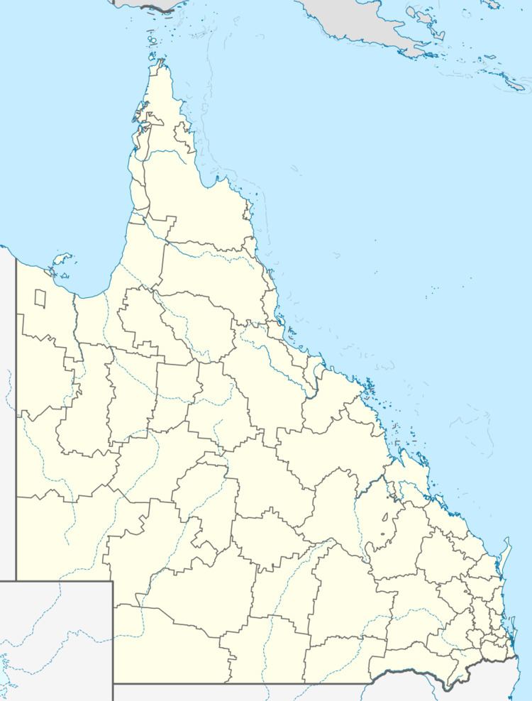
Tinana is on the south-western bank of the Mary River, opposite the town of Maryborough. Although originally a separate town, the construction of the Lamington Bridge over the Mary River has effectively made Tinana a suburb of Maryborough.
History
The name Tinana is derived from the name of the creek, which in turn was named in 1852 by surveyor William Labatt. The name is believed to be in honour of a Maori chief Tinanah, who was known to the botanist John Carne Bidwill from his time in New Zealand in 1840-41.
Tinana State School was established in the suburb in 1875.
Education
Tinana State School is a co-educational government primary (P-6) school at 239 Gympie Road. In 2015, it had an enrolment of 509 students with 38 teachers (33 full-time equivalent).
Heritage listings
Tinana has a number of heritage-listed sites, including:
Notable residents
Notable residents of Tinana include:
